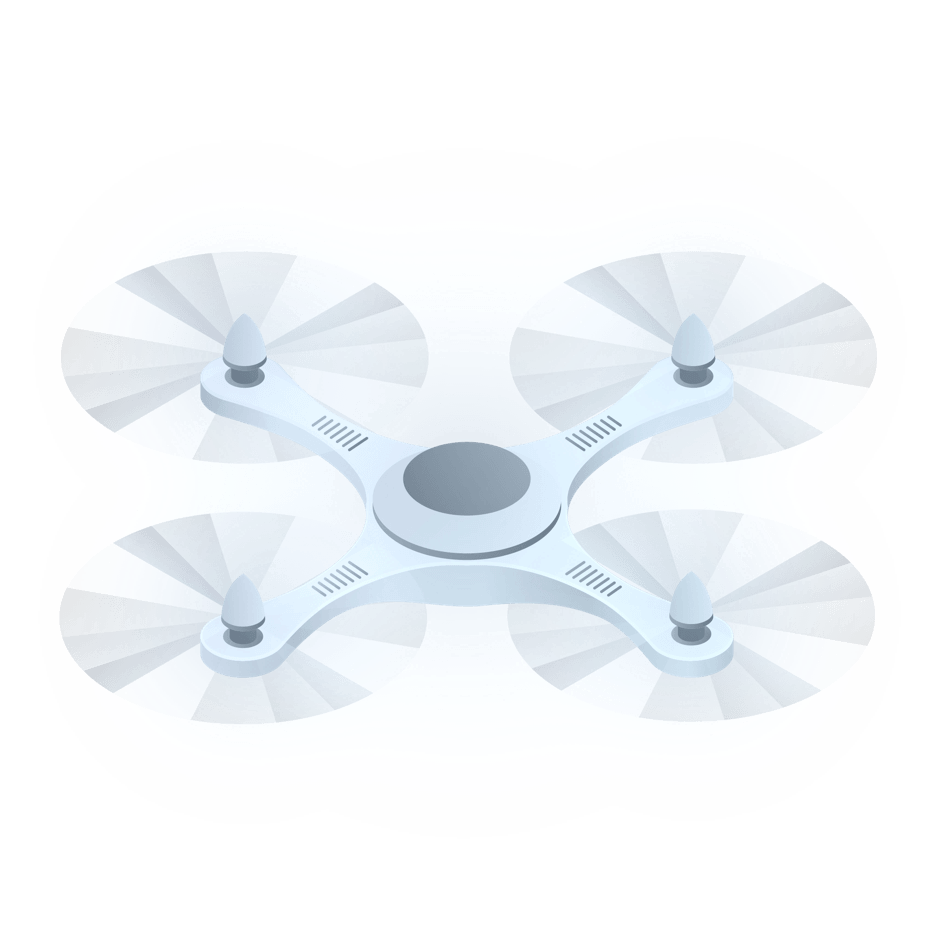
UAV
A unique software solution helps customers effectively manage even large fleets of unmanned aerial vehicles (UAV), also called drones.
Aerial photography, video surveillance, vast area inspection, and environmental monitoring are just a few of many tasks facilitated by drones. To unlock the entire potential of drones, operators need a handy tool to control and manage them.
NGN offers a universal management system that supports almost all autopilots and UAVs available on the civil market.
Product portfolio
Flight planning and operation
Software to manage UAVs and develop maps from aerial photo data; optimal route planning via a 3D map which takes account of obstacles and restricted areas
High-rise surveillance system
A tethered UAV cable-powered from a ground station can fly as high as 100m and for as long as 200 hours
Drone flock management
Coordination of synchronous flights of many UAVs for light and fireworks shows
The solution can:
- Manage one or several UAVs, receive and record telemetry data, and alert an operator to a dangerous drone approaching other aerial vehicles
- Support Windows, MacOS, Linux, and Android
- Support the simultaneous activity of several operators and flexible management scenario configuration, with efficient task sharing between team members
- Be integrated with automatic dependent surveillance-broadcast (ADS-B) systems
Features:
Easy to make UAV flocks
Universal architecture makes it possible to connect drones with their own management and telemetry protocols and add new devices, quickly and easily, without serious software customization, as the out-of-the-box system is already compatible with devices made by leading robotics vendors. The scalable and modular solution can also support new management protocols and payload types.
Flexible operation scenario configuration
Thanks to the availability of different scenarios, the system can be used by multiple operators who control one or several UAVs, with UAV route and payload management tasks being distributed between operators. The user interface can also be tailored to a particular vehicle type. The simulation mode allows for UAV operator training and examination.
Ease of operation
Full-fledged 3D mapping and path planning algorithms make it possible to develop routes while also taking account of relief, obstacles, restricted areas, and air corridors which are included in a digital terrain model. Jobs are composed of typical maneuvers: linear motion, circle, S-turn, racetrack and perimeter patterns, as well as aerial photography with preset overlap and resolution. When preparing a job, operators can measure distances and squares, evaluate radio-visibility areas, and plan actions for certain route segments: turning a camera, shooting in the direction of interest, releasing a payload, etc. Elevation profile is controlled throughout the entire flight.
Intensive information flow
Depending on payload type, UAVs can shoot many photos and videos and acquire radiation monitoring and other environmental surveillance data linked to a movement model, coordinates and spatial orientation. Furthermore, upon a customer’s request, the system can be customized to acquire data from external systems and electronic chips (to locate manpower, machinery, objects from ADS-B systems, etc.). Thanks to the prompt information and target objects display on the map, customers can evaluate development scenarios and plan jobs faster. All telemetry data can be saved for further view and analysis.

Contact Us
Başarılı
Formunuz başarılı bir şekilde gönderilmiştir.